© RicardMN Photography
B&W photographs of Burma by RicardMN Photography. Music: Silk Road – Kitaro. (See with sound in 480p) – See Part 2–
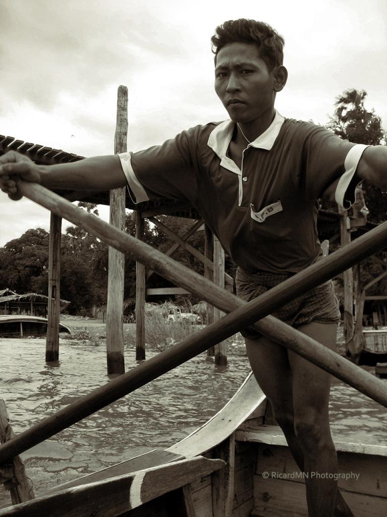
Burma, also known as Myanmar, is a sovereign state in Southeast Asia bordered by China, Thailand, India,Laos and Bangladesh. One-third of Burma’s total perimeter of 1,930 kilometres (1,200 mi) forms an uninterrupted coastline along the Bay of Bengal and the Andaman Sea. Its population of over 60 million makes it the world’s 24th most populous country and, at 676,578 km2 (261,227 sq mi), it is the world’s 40th largest country and the second largest in Southeast Asia.
The country has been under military control since a coup d’état in 1962. During this time, the United Nations and several other organizations have reported consistent and systematic human rightsviolations in the country, including genocide, the use of child soldiers, systematic rape, child labour, slavery, human trafficking and a lack of freedom of speech. Since the military began relinquishing more of its control over the government, however – coupled with its release in 2011 of Burma’s most prominent human rights activist, Aung San Suu Kyi – the country’s foreign relationships have improved rapidly, especially with major powers such as the European Union, Japan, and the United States. Trade and other sanctions, for example, imposed by the European Union and the United States, have now been eased.
Burma is a country rich in precious stones, oil, natural gas and other mineral resources. In 2011, its GDP stood at US$82.7 billion and was estimated as growing at an annual rate of 5.5%. (From Wikipedia)
Prints/greeting cards – RicardMN Photograpy’s Facebook Page – RicardMN Photography’s Pinterest